
Siargao Beach Guide: Which Ones Are Actually Worth It
September 21, 2026 · Cogon Tropical Resort team
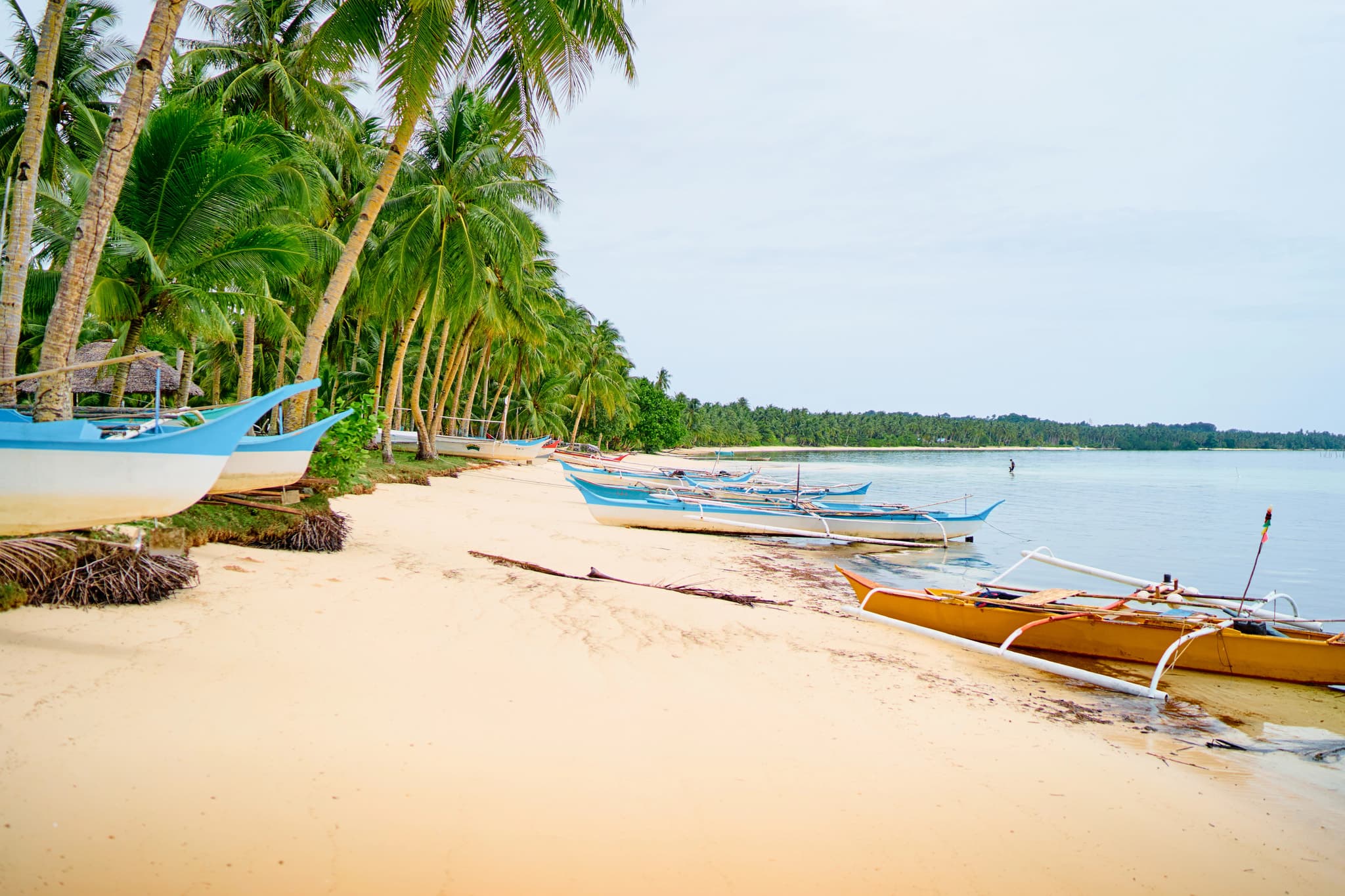
A Siargao beach does not work like a Boracay beach. Most of the coast of Siargao Island sits behind a fringing reef, so the tide decides whether you swim, wade or walk. Plan around it and the beaches open up. Ignore it and you ride an hour to look at seagrass.
This guide covers the beaches worth your time on the island and offshore, how the tide and the season change them, and roughly what getting around costs. Prices shift, so treat the numbers as a starting point and confirm locally.
Where are the beaches on Siargao?
Dozens of them, in four areas with very different characters. Knowing which coast you're on saves a lot of wasted riding.
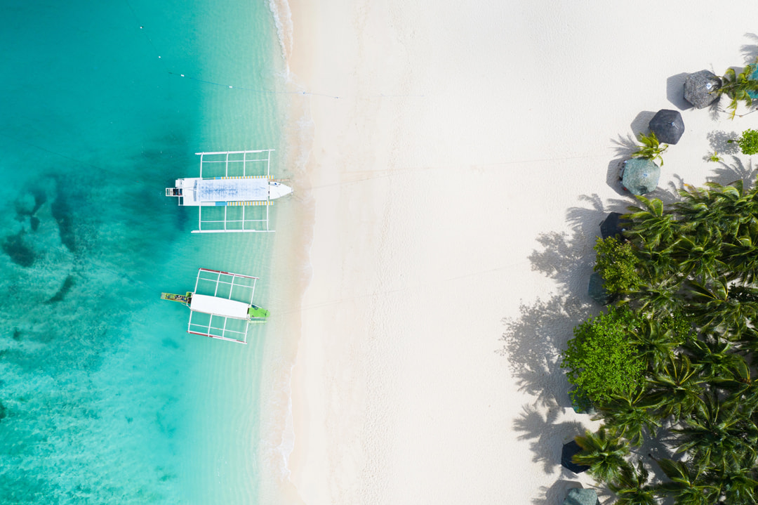
South and south-east (General Luna, Catangnan, Malinao): the main tourist strip. Palm-backed tidal sand, surf breaks, the boats and the restaurants.
North-east (Pilar, Pacifico, Burgos, Santa Monica): long, empty beaches with far fewer people and a longer ride to reach them.
West (Del Carmen, Sayak): almost no beach at all. This coast is mangrove forest, and it's where boats leave for Sugba Lagoon.
Offshore: Guyam, Daku and Naked, plus Corregidor and the Bucas Grande islands further out.
The island is small. The south coast to the far north is roughly 50 to 60 kilometres of road, so you can reach almost any beach and be back for dinner.
The best beaches in Siargao, one by one
There is no single best beach in Siargao. There is a best beach for the tide you have, the time you have and what you want to do in the water.
What is General Luna beach actually like?
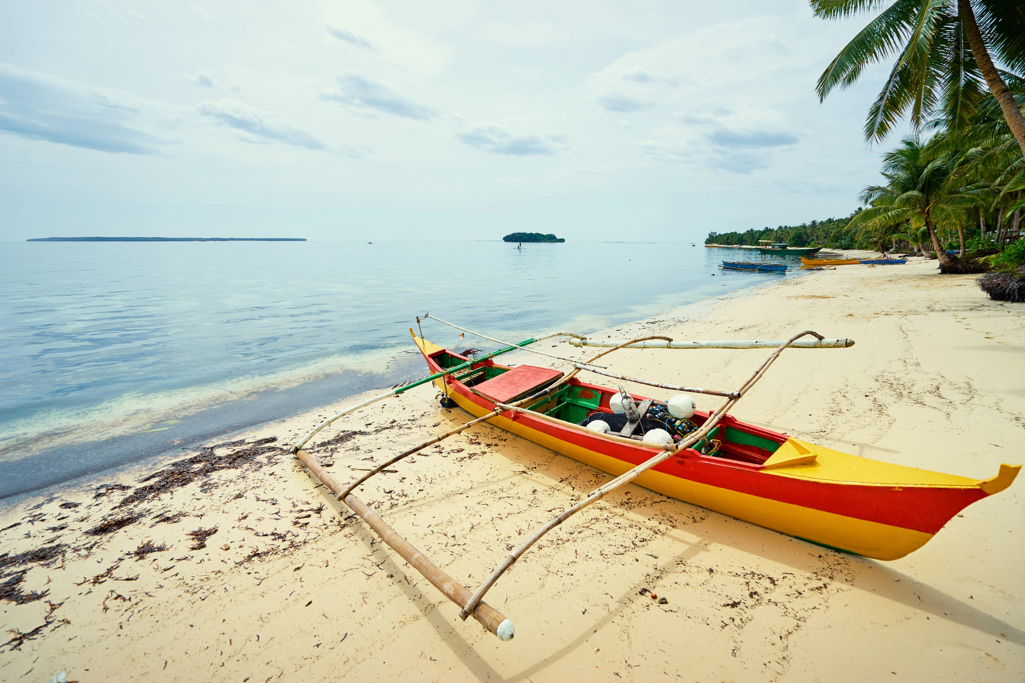
Long, quiet, lined with palm trees and very tidal. The sand runs for a couple of kilometres from town north towards Catangnan. Outrigger boats sit pulled up on the shore, and the palm trees give you shade most of the day.
When the tide goes out, the water pulls back a long way and leaves seagrass flats. At high tide you can wade in properly. Locals swim here, kids play football on the sand in the late afternoon, and it never feels crowded the way a resort beach does.
Much of the shoreline sits in front of private property, so access is through resorts, restaurants and a handful of public paths. Nobody stops you walking the sand, but you may need to buy a drink to cut through to it.
Is Secret Beach worth finding?
Yes, and it is closer than the name suggests. Secret Beach, which locals call Guiwan, is in Barangay Malinao, about 10 to 15 minutes by motorbike south of town on the road towards Dapa. You park by the road and walk a dirt path through tall coconut palms to white sand.
Inside the cove the water is calm, with mangroves along one side, which makes it one of the better swimming spots on the south coast. There is a gentle wave that surf schools use for beginners, which picks up in the August to November swell. On a flat day, kayaks and boards for paddleboarding can be rented on the sand.
You will see Doot Beach on maps and blogs too. Doot Beach sits at the end of the same coastal road, and some guides treat the two as one place.
Is Cloud 9 a beach?
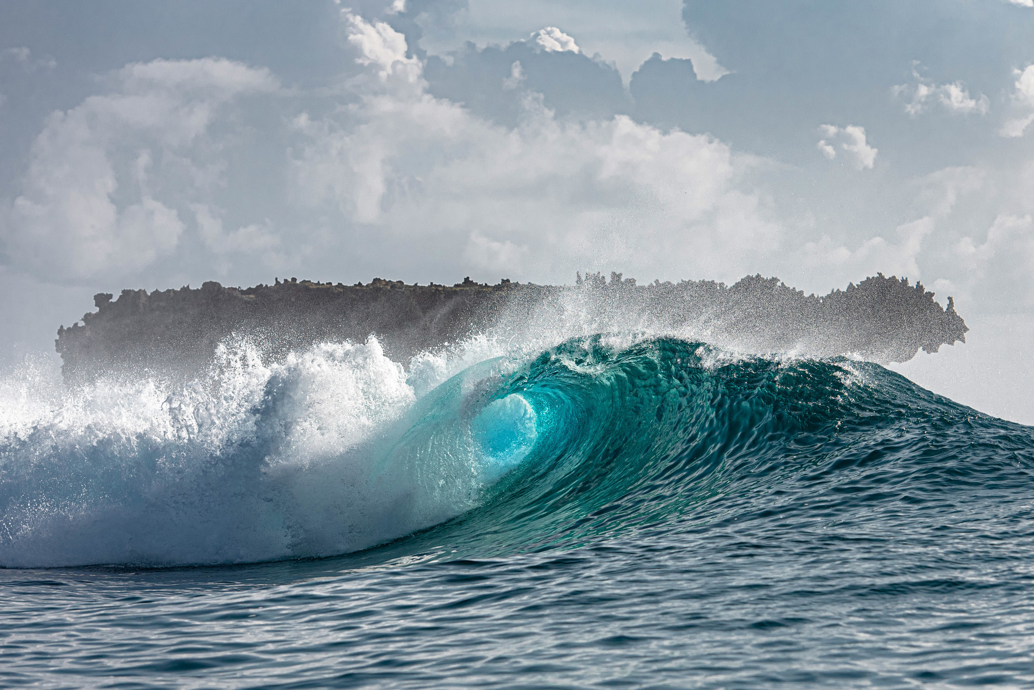
Not really. It is the reef break that made Siargao the surfing capital of the Philippines, with a wooden boardwalk and viewing tower built out over the water, and the bottom is sharp coral. You go there to surf, to watch surfing, or to sit on the boardwalk at dawn with a coffee. You do not go there to paddle.
There is sand on either side of the boardwalk, and a sheltered pocket at Jacking Horse nearby where beginners take lessons on a softer, slower wave. If you're planning around the surf rather than the sand, our guide to the best time to surf Cloud 9 covers the swell seasons in detail.
When should you go to Magpupungko?
With the tide out, and only then. Magpupungko Beach in Pilar is a pleasant stretch of sand, but people ride out for the rock pools beside it. They only exist when the sea drains off the reef shelf and leaves deep natural pools in the rock.
Get the timing wrong and you have ridden an hour to look at the sea. Check the day's low before you leave, and aim to arrive a little before it.
Are Pacifico and Burgos worth the ride north?
Yes, if you want space. The north-east coast, through Pilar and up to Pacifico and Burgos, has long empty stretches of sand with almost nobody on them. The trade-off is the ride: around an hour by motorbike on a road that alternates between smooth concrete and patched sections.
Pacifico has its own surf break, a sandy shore that suits beginners on a small day, and a handful of places to eat. Burgos picks up more swell and power than the south, and its breaks stay far less crowded. Leave early, stop at Magpupungko on the way if the tide is low, and give yourself daylight for the ride home. There's a version of this loop in our three-day Siargao itinerary.
Is Alegria Beach good for swimming?
It is one of the easiest on the island. Alegria Beach, in Santa Monica at the far north, has white sand, palm trees and gentle water that stays shallow a long way out. Local families picnic there at weekends, and there are cottages to rent for shade and a few places selling food and coconuts.
It is also the furthest beach on this list, about an hour and a half from the south coast. Treat it as the end of a north-coast day, not a quick swim, and bring small notes for the modest entrance fee.
Island hopping: Guyam, Daku and Naked Island
The standard trio is usually done as one island hopping tour out of General Luna, six to nine hours door to door. It is the single best beach day on the island and worth doing even though everyone does it.
Guyam Island: a tiny palm-topped rock you can walk around in five minutes. Shade, coral edges, good for photos and a swim off the sand spit.
Daku Island: the biggest of the three. Wide sand, a village, and huts where you can eat grilled fish and rice cooked on the spot.
Naked Island: a bare white sand bar. No trees, no buildings, no shade. Beautiful for half an hour and brutal at midday in April.
Naked and Daku are also the best swimming on the whole trip, on a rising or high tide, because both drop into clear water without much reef underfoot. For snorkelling, the reef edges at Guyam and Daku are the reliable spots. Don't expect Bohol-standard coral, and ask the crew to stop somewhere specific rather than waiting to be shown.
What does an island hopping tour cost?
Boats leave from the shoreline in town, typically between about 7:30am and 9am, and return around 4pm to 5pm. Expect somewhere in the region of ₱3,000 to ₱9,000 for a whole boat if you charter privately, depending on group size, split between your group. Add per-person entrance and LGU fees of roughly ₱50 to ₱100 per island.
Joiner tours cost less per head. Bring cash, a hat and more water than you think you need.
Can you go further out?
Yes, on a longer day. Corregidor Island and the Bucas Grande group are further out. Bucas Grande, with the Sohoton Cove caves and stingless jellyfish lagoon, is usually a dawn start with a crossing of a couple of hours each way, and it gets cancelled in rough weather.
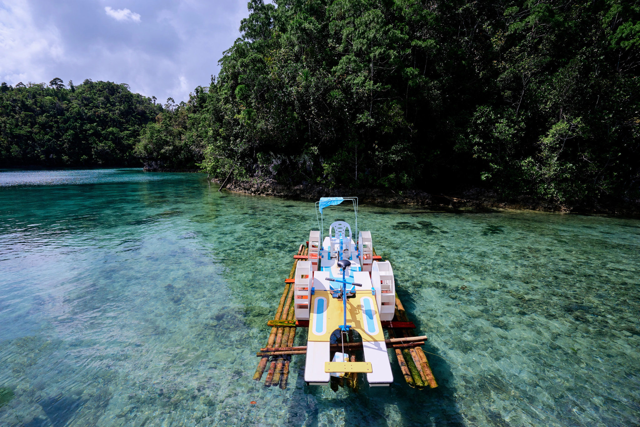
Sugba Lagoon is the other big boat trip, leaving from Del Carmen on the west coast through the mangroves. It is a lagoon rather than a beach, but it is where many people get their best swim of the week.
Why do the tides matter so much in Siargao?
Because the tide decides what is open. Siargao usually gets two high tides and two low tides a day, with a range of about one and a half to two metres on spring tides. That is enough to turn a swimming beach into a mudflat and back again in six hours.
Beach swimming and island hopping: aim for the two hours either side of high tide.
Magpupungko rock pools: go at or near low water.
Surfing the reef breaks: mid to high tide is generally safer over the coral.
Check a tide table for General Luna the night before, or ask at your accommodation.
When is the best time of year for a beach day?
March to June is generally the dry season and the calmest window, with flatter seas and the most reliable island-hopping conditions. That is also when the sun is hardest, so shade and water matter.
August to November brings the bigger swell that surfers come for, along with more rain and a real chance of boat trips being cancelled. December to February can be windy under the amihan, with choppy crossings to the islands.
Typhoon risk runs broadly from late in the year into January, and this part of the Philippines has been hit hard before. If you are travelling then, watch PAGASA's severe weather bulletins for Surigao del Norte.
Is it safe to swim at Siargao beaches?
Generally yes on the sheltered south coast and at Alegria, with more care on the exposed stretches of the north-east. There are no lifeguards anywhere on the island, and east-facing beaches can produce strong shore break and rip currents when swell is running.
Sea urchins sit in the seagrass and rock pools. Reef shoes solve most of this.
Coral cuts get infected quickly in the tropics. Clean them properly the same day.
Jellyfish appear from time to time, more often after onshore winds. Ask locally before a long swim.
If the water is brown and churning after rain, stay out of it.
Swim where other people are swimming. That's your best local knowledge.
What to pack for a beach day, then:
Reef shoes or old trainers, for the coral and urchins on the flats.
A rash guard. Cheaper than sunburn and useful for snorkelling.
Reef-safe sunscreen, bought before you arrive if you're fussy about brands.
Cash in small notes. ATMs on the island are limited and can run dry at weekends.
A dry bag for the boat, and your own water bottle.
Leave the single-use plastic behind. The island has pushed hard against plastic bottles and straws, and there is no easy way to deal with rubbish you leave on a sandbar. Take everything back with you, including fruit peel.
Sand, sunrise and sunset
Is the sand in Siargao white?
Cream to golden sand on most of the main island, whiter on the offshore sandbars. Naked Island comes closest to the postcard version, and Alegria in the north is the whitest sand on the main island. The south coast's sand is softer and slightly darker, with bits of coral and shell in it.
If you've come from Palawan or Boracay expecting the same blinding white, adjust the expectation. Siargao's appeal is the green: coconut palms in every direction, mangrove channels, and water that goes from jade to deep blue where the reef drops off.
Where do you watch the sunset?
Not from the main beaches. The south coast faces east, so the sun rises over the water and sets behind the palms inland. For sunrise, be on the sand or the surf boardwalk by about 5:30am.
For sunset, head west or get on the water. The Del Carmen mangroves and the piers on the western side face the right way, and a boat coming back late from island hopping usually gets the best of it.
Getting around, and what it costs
The beaches themselves are free, but most sites charge a small entrance fee or environmental fee, usually in the region of ₱20 to ₱100 per person. There is also an environmental fee for visitors, collected on arrival. Carry small notes. Nobody at a sandbar has change for a thousand.
How do you get to the beaches from the airport?
Siargao Airport sits at Sayak near Del Carmen on the west side, roughly 45 minutes to an hour by road from the south coast. Shared vans meet the flights and usually charge somewhere around ₱300 to ₱500 per person, with private transfers costing more.
Flights come in mainly from Cebu and Manila, and the runway is short, so cancellations and weight limits happen. The alternative is a ferry from Surigao City to Dapa, typically two to three hours, then about 30 minutes by road.
How do you get between the beaches?
Motorbike, mostly. Daily hire commonly runs somewhere around ₱400 to ₱600 depending on the bike and the season, and it's the easiest way to reach the north. Wear a helmet, take it slowly on wet concrete and expect dogs, chickens and children on the road.
If you'd rather not ride, habal-habal motorbike taxis and tricycles cover the short hops. A tricycle from town to Cloud 9 is typically in the ₱150 to ₱300 range. Agree the fare before you get in, and for the north coast, hire a driver for the day.
Where to stay in Siargao for beach access
Tourism Road in General Luna is the practical base. It runs parallel to the coast, keeps the surf schools and Cloud 9 close for dawn checks, and puts you minutes from the boat launch. From here you can do the islands one day and the northern beaches the next without moving your bags.
Because the sea is tidal, a pool matters more in Siargao than it does elsewhere. Cogon Tropical Resort sits on Tourism Road minutes from Cloud 9, with Deluxe King rooms at ₱4,890 a night for two and Deluxe Twin rooms at ₱5,890 a night sleeping four. Check-in is 2:00 PM, check-out 11:00 AM, and the rates include breakfast, air-conditioning, Starlink WiFi and a 24/7 generator for when the island power cuts out.
Surfing lessons, island hopping and guided land tours can be arranged on site, so you can time the boats to the tide rather than the other way round. See our rooms and rates or book direct.